Originally published on May 22, 2024 on AGCanada
By Daniel Bezte
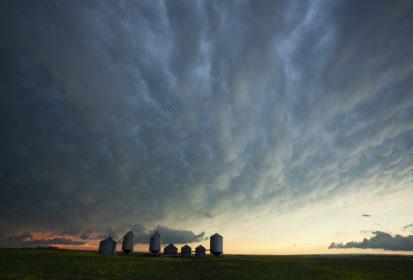
Last weeks forecast was correct on a few things: it was a messy forecast, confidence was high in the big picture, and confidence was low on the details. The Prairies did get stuck under a large upper low, but the placement and timing of the main low impacted several other lows. While we did see the forecasted precipitation, it was the where and when that was off.
I wish I could say there’s more confidence in the details of this forecast. But, with the weather models jumping all over the place over the last couple of days, I can’t even say that there’s much confidence in the overall big picture. With that said, here is the current seven-day outlook.
In Alberta, the Saskatchewan upper low will be interacting with an upper low over northern B.C. resulting in plenty of cool and unsettled weather for that province.
The one piece of bright news is that the models are beginning to suggest that warm air will move in later in the weekend and early next week. However, it still looks like the overall pattern will remain unsettled.
Alberta
A short, not very sweet forecast. The interaction between the aforementioned upper lows will keep unstable air over much of the province from Wednesday until at least Sunday. A couple of surface lows are forecasted to develop and drop south in the cool, northerly flow around the Saskatchewan upper low.
Every day will carry a chance or precipitation, but exact timing and placement of showers and thundershowers will be tricky. Best chances look to be Wednesday, Friday, and Sunday, especially over the southern half of the province. Expect well below average temperatures with daytime highs forecasted to be in the 10 to 15 C range with overnight lows falling to around 5 C.
By Sunday or Monday, there should be some warming as the upper low weakens and drifts north. Expect daytime highs to moderate towards the 20 C mark to start the week and overnight lows to fall to around 10 C. There still looks to be plenty of instability, so expect partly cloudy skies and the chance of afternoon showers and thundershowers.
Saskatchewan
Cloudy or partly cloudy skies, showers and afternoon thundershowers will dominate the weather for most regions of Saskatchewan over the next 3 to 5 days. Expect daytime highs to be in the 10 to 15 C range – coolest where there are more clouds and precipitation. Overnight lows will be in the 3 to 6 C range – coolest over regions that see some clearing.
As the aforementioned wobbling upper low weakens on Saturday or Sunday, a weak ridge of high pressure will begin to build northwards. This should bring a return of more seasonable temperatures. Expect daytime highs to be in the 20 C range by Monday with low twenties expected on Tuesday and Wednesday. Skies look to be sunny to partly cloudy with the chance of the odd late afternoon or evening thundershower, especially over central regions.
Manitoba
Manitoba starts this forecast period squeezed between the upper low in Saskatchewan and an intense area of low pressure over northwestern Ontario. Currently it looks like most of the rain from the Ontario low will stay to the far eastern regions.
A second area of low pressure is forecasted to develop over the central U.S. on Thursday, which will quickly track northeastward on Friday. This system has the potential to bring some significant rains to southern and eastern regions on Friday.
With all the clouds and unsettled conditions, temperatures are forecasted to remain on the cool side. Daytime highs will start in the mid to upper teens on Wednesday before cooling down into the low teens on Friday. Overnight lows will be in the 3 to 6 C range, but should any regions see skies clear out overnight Wednesday or Thursday then there could be the chance of seeing a light frost here and there.
Once the Friday lows pull out, this region will see a warming trend as a ridge of high pressure begins to build. Expect daytime highs to warm into the low twenties by Sunday or Monday with overnight lows falling into the 7 to 10 C range. There could be the odd shower or thundershower move through on Tuesday as an area of low-pressure rides along the top of the upper ridge, but that is a long way off.