Originally published June 3, 2025 on Western Producer, By Daniel Bezte
Another month has come and gone, and as a grade 7 student nicely pointed out to me today, the older you get, the faster time seems to travel.
As we wrap up the last month of meteorological spring and start the first month of summer, it is time for our monthly look at how the weather behaved last month, compare it to what the weather models predicted, and then look ahead to see if there are any changes to the long-range forecast for the rest of the summer.
I don’t know about you, but I am sure hoping that there is a shift toward a wetter summer.
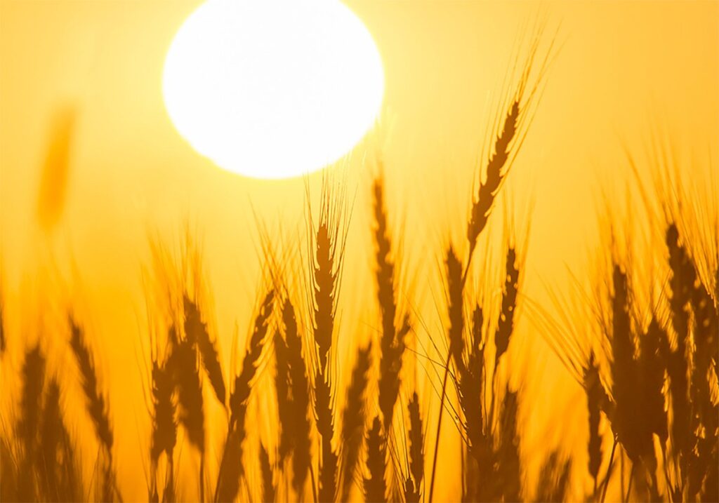
Looking at May’s temperatures, all of the stations that I look at reported above average temperatures in May. In fact, five of the eight stations reported mean monthly temperatures that were greater than 1.5 C above the long-term average, with half reporting temperatures greater than 2 C above the long-term average.
The warmest location both in actual temperature and compared to average was Winnipeg.
The cold spot was also in Manitoba with Dauphin reporting both the coldest actual temperature and the least above average temperature.
Record setting heat early in the month contributed to Winnipeg’s numbers, while the western part of Manitoba saw plenty of clouds and showers earlier in the month, which helped to keep temperatures down.
Looking at May’s precipitation, it was once again a dry month right across the Prairies, with the one exception — Brandon.
If you look at the map of precipitation compared to the average for May, you can see that southwestern Manitoba and southeastern Saskatchewan, along with west-central Alberta, were the only regions to report above average precipitation. Brandon was the only major reporting centre in those above average areas.
What really stands out is just how dry Saskatoon and Peace River, Alta., were in May.
Looking back at both locations, Saskatoon has only recorded 36 millimetres of water equivalent precipitation so far this year, while Peace River is at a paltry 26 mm.
Digging a little deeper into the precipitation deficits so far this year, both Winnipeg and Peace River are running a deficit of about 83 mm.
Overall, it was a warmer than average May right across the Prairies, with the region arcing from southeastern Manitoba, across central Saskatchewan, and into central and southern Alberta seeing warmest conditions.
Overall precipitation was below to much below average with a few locations seeing near to above average.
If we look back at the forecasts for the month, the almanacs were well off with their forecasts of near average temperatures and above average precipitation.
As for the winner, it would appear to be a tie between last month’s winner, the CanSIPS model, the American CFS and the European ECMWF.
All of them called for above average temperatures with near to below average precipitation. I’ll let you look back and see which one you think squeaked out the win.
In the next issue, we will take a look at what the latest long-range summer forecasts are calling for.